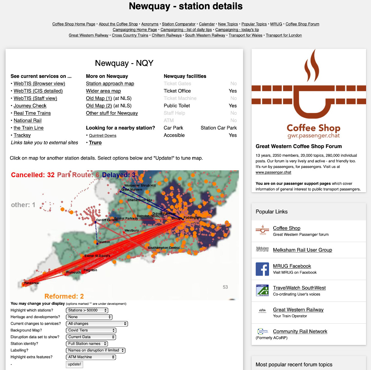
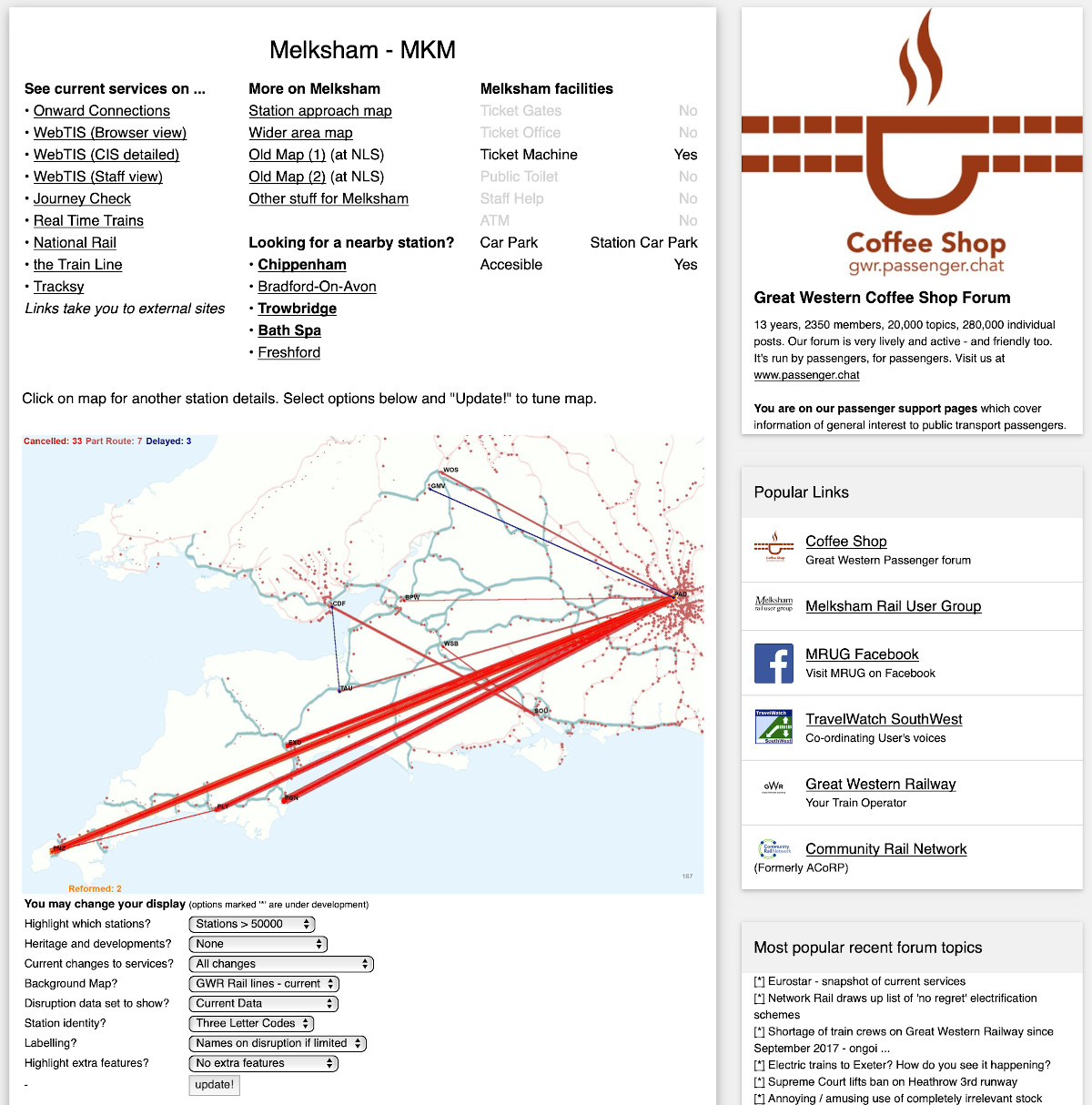
I have updated the station information, disruption, live departure pages ... click on the disruption image at the top left of the screen and you'll get into the 'app'. Click on a station on the map and it will take you to the data for that station. The appearance will vary depending on previous preferences, and some of the display are only available for selected stations.
Direct link examples -
http://new.passenger.chat/better/map.html?stn=DCW (Dorchester West)
http://new.passenger.chat/better/map.html?stn=BRI» (Bristol Temple Meads)
and I'm sure you get the idea
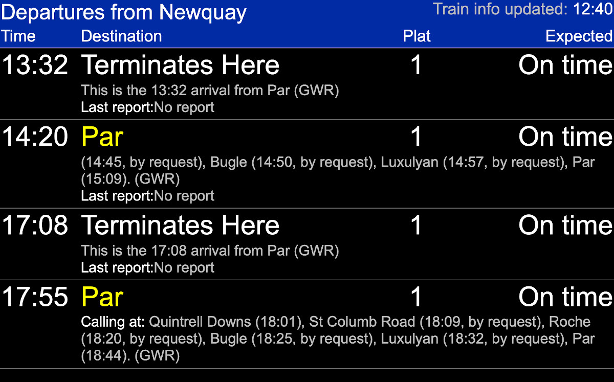
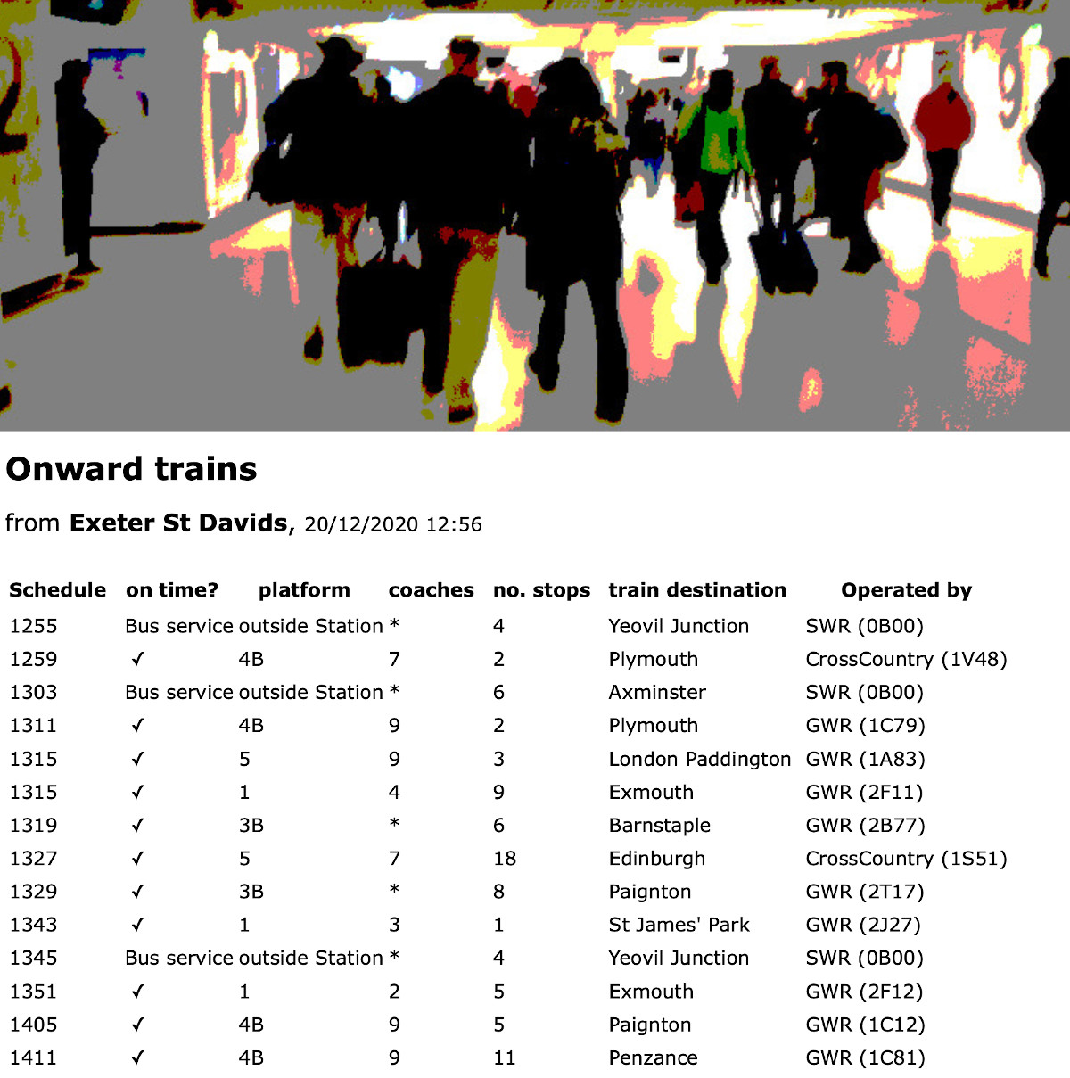
On the display:1st column at the top - links to real time systems available for that station
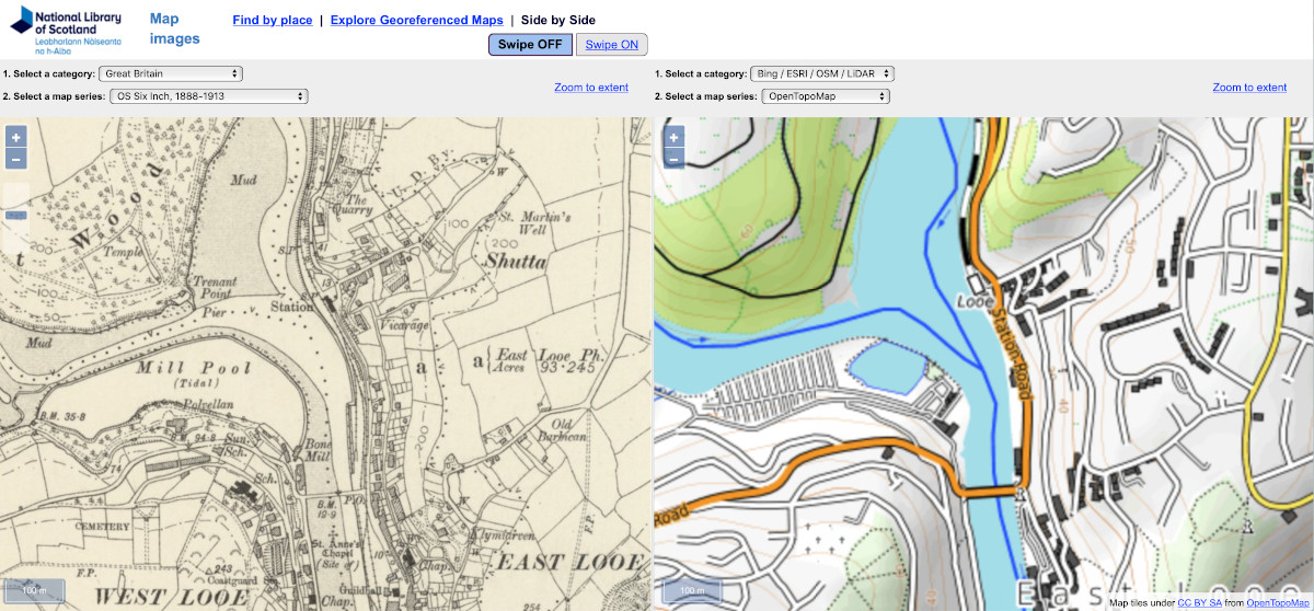
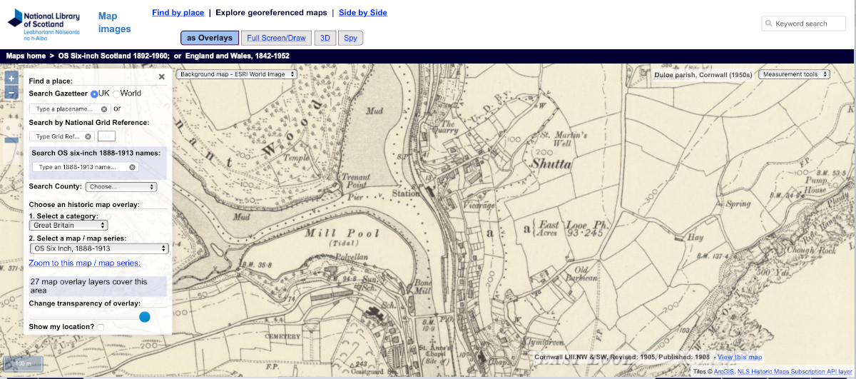
2nd column - links to maps including now links to historic maps, and to nearby stations
3rd column - summary of facilities at the station
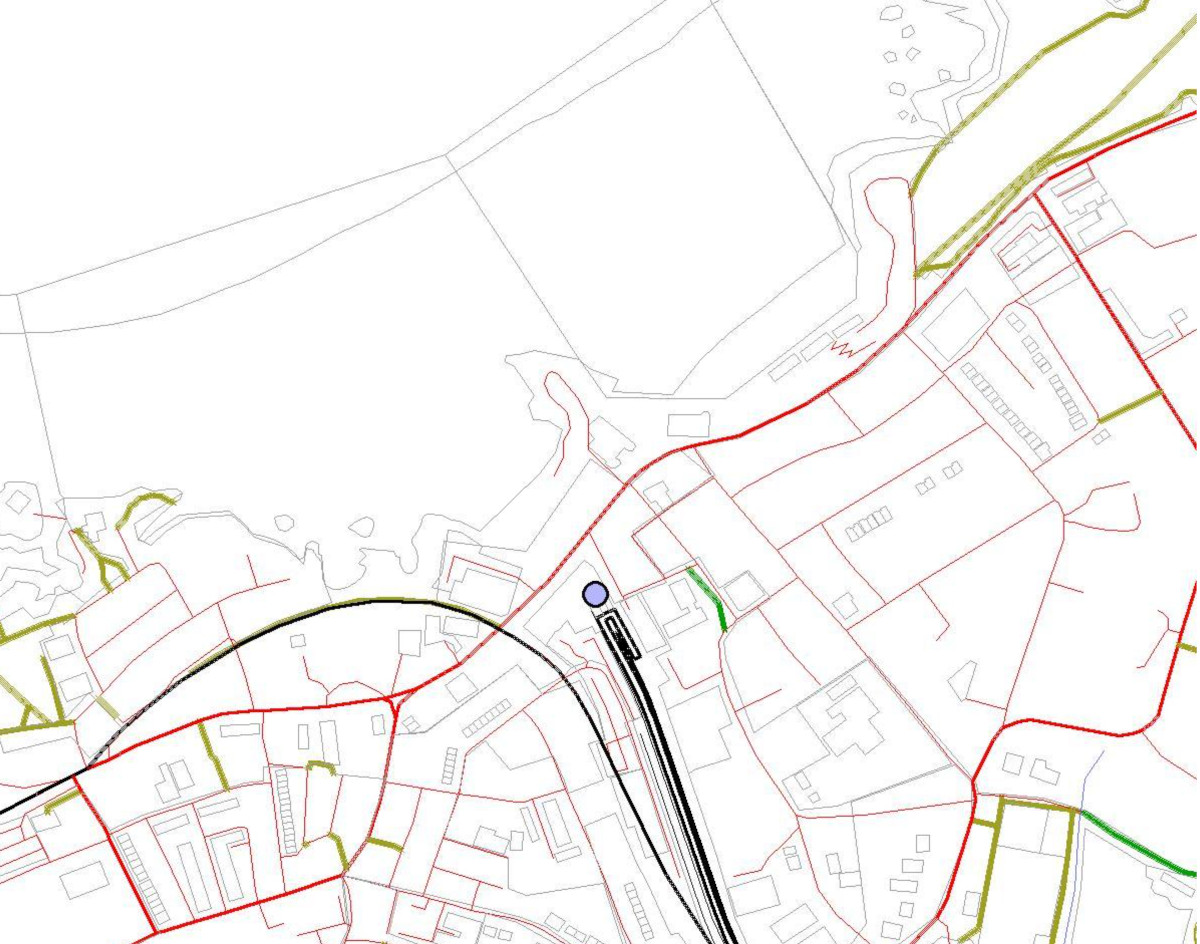
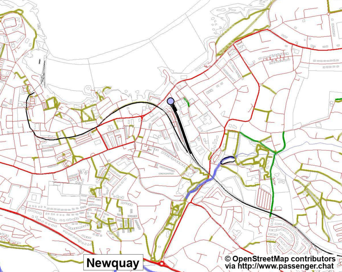
below those columns:Map of
GWR▸ area (or
UK▸ if you have chosen that option) to let you click on another station
and below that:Selectors to let you change the map shown
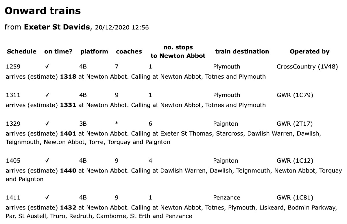
Sample displays (some from direct links to third party sites) ...